Im Nebelmeer über Plocica
Installation / 2008 & 2018
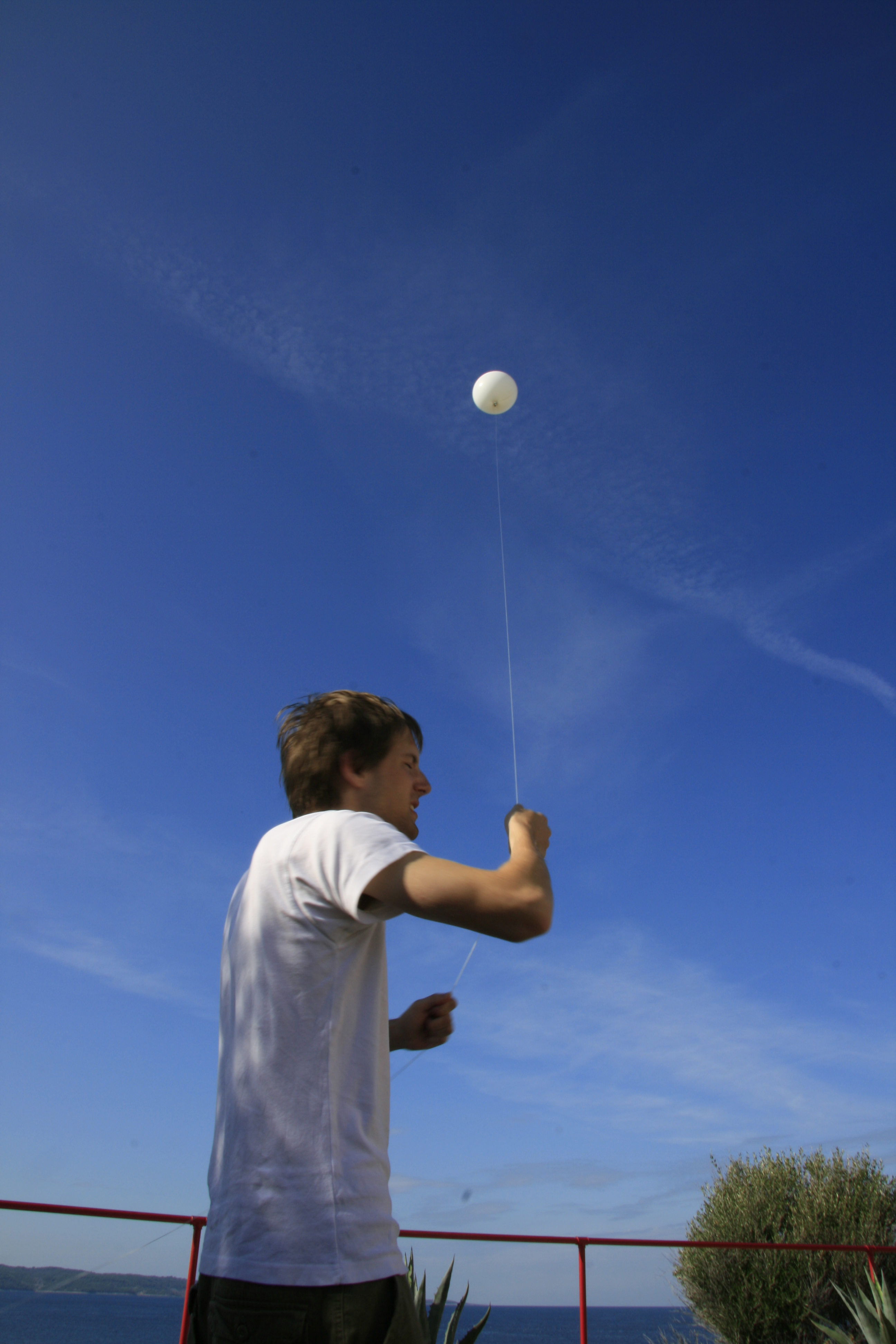
Mapping providers, like Google, buy satellite imagery for different parts of the worlds at different resolutions. After not being able to see more than just some faint outlines of an uninhabited island I was about to set foot on, whereas e.g. individual cars were discernible on a map image of Manhattan, I decided to create my own aerial imagery using a helium balloon.
The video of the tumbling balloon was later manually cleaned up and rotated. In the exhibition setting the resulting video map is projected onto the floor to recreate the island over time.
